Topcon ContextCapture
Mass Data & Mapping
How can we help?
(208) 324-2900
Features
-
Model Any Scale Project
-
Generate 2D and 3D Models
-
Integrate Models into any Workflow
-
Create 3D Precise Models from Photographs
-
Publish and View Web Ready Models
-
Integrate Georeferenced Data
-
Perform Automatic Aerotriangulation/Reconstruction
Overview
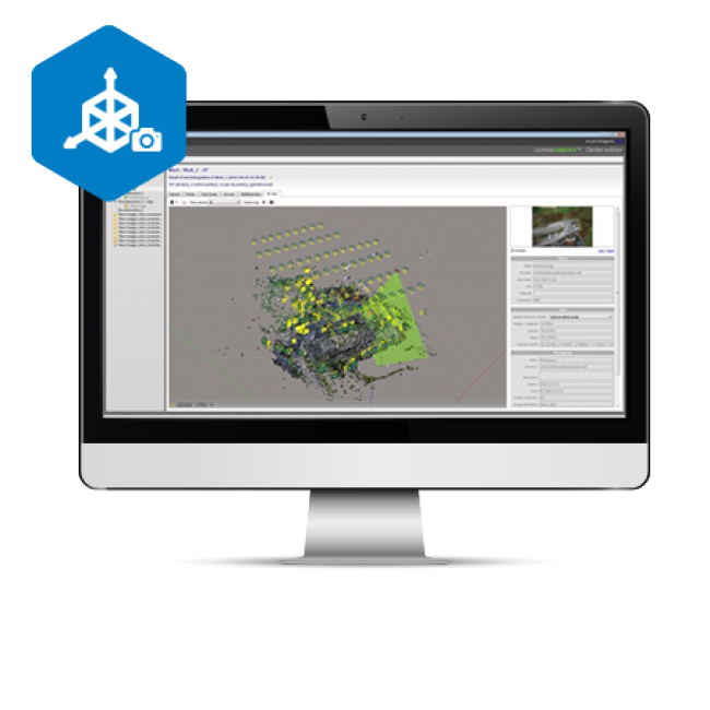
A COMPLETE MAPPING AND MODELING SOLUTION
 |
This is the ultimate companion for the Sirius Basic/Pro and Falcon 8. Cost effectively produce 3D models of the most challenging existing conditions using photographs taken with the Sirius Basic, Sirius Pro or the Falcon 8. Quickly create highly detailed 3D reality meshes, point clouds, DEMs and orthophotos to provide precise real-world context for design, construction, and operations decisions for use throughout the lifecycle of projects. |
Applications
- Geopositioning
- Land Surveying
- Construction
- BIM for Construction
- Vertical Construction
- Mining
- Forensics