
Topcon MAGNET Collage
| Make | Topcon |
| Model | MAGNET Collage |
| Type | Software Solutions |
How can we help?
Description
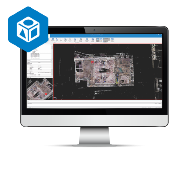
A 3D software environment to combine data sets from multiple mass data sensors
MAGNET Collage provides data processing of otherwise disparate data sets into one 3D environment that can accommodate laser scanner, mobile scanning and mapping, road resurfacing scanners, and photogrammetric point clouds. To further simplify the combination of data, geographic coordinate points from ground control and surveying control can be leveraged for easy matching of point clouds.
Models
Overview
With a subscription to MAGNET Collage, it is easier to master the use of Mass Data. Using mass data to capture reality for current analysis, presentations, and future access to time stamped 3D environments will provide not only impressive representations of projects, but a more secure and less risk to documenting projects.1. Stay in one software environment to work with both mobile and static scan data.
- Process static scan data 8x faster than previous solution.
- Easily combine scan data sets from multiple applications into one 3D immersive environment.
- Easily combine matched point clouds and ground control with projections and geoid for all sensors
- Export projects easily with projections, geoids, sections, and reduced point cloud data sets
- Collage will reduce a massive project and file size into a file size that can be utilized in other software.
- Do all mass data processing in the same software environment
Applications
- Design & Take-Off
- Mapping
- Forensics
Features
- Extensive projections and geoids exports
- All in one mass data processing software
- Combine Mobile and Static scan data into one immersive 3D environment.
- Advanced matching and ground control functionality for a variety of sensors
- Faster point cloud processing and mass data handling
- Combine Civil, Mapping, BIM, and survey data
- Segment and reduce point clouds to facilitate import into third-party software
Links
- Topcon Workplace Catalog
- Vertical Construction: Scanning Solutions - Brochure
- MAGNET Collage and Collage Web - Brochure
Copy Set
Overview
With a subscription to MAGNET Collage, it is easier to master the use of Mass Data. Using mass data to capture reality for current analysis, presentations, and future access to time stamped 3D environments will provide not only impressive representations of projects, but a more secure and less risk to documenting projects.1. Stay in one software environment to work with both mobile and static scan data.
- Process static scan data 8x faster than previous solution.
- Easily combine scan data sets from multiple applications into one 3D immersive environment.
- Easily combine matched point clouds and ground control with projections and geoid for all sensors
- Export projects easily with projections, geoids, sections, and reduced point cloud data sets
- Collage will reduce a massive project and file size into a file size that can be utilized in other software.
- Do all mass data processing in the same software environment
Applications
- Design & Take-Off
- Mapping
- Forensics


